Connecting city to country
Project: Transport for New South Wales Southern Highland Wayfinding Program
Location
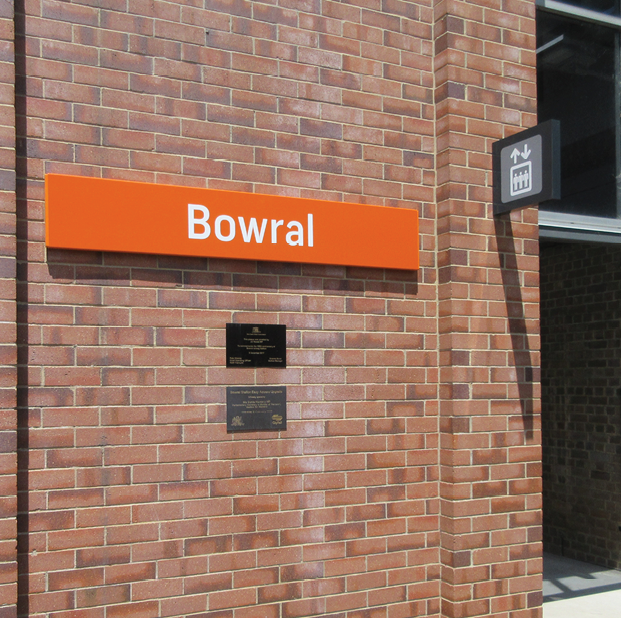
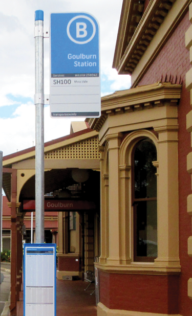
Menangle Park, Menangle, Douglas Park, Picton, Tahmoor, Bargo, Yerrinbool, Mittagong, Bowral, Burradoo, Moss Vale, Exeter, Bundanoon, Penrose, Wingello, Tallong, Marulan, Goulburn, NSW
Overview
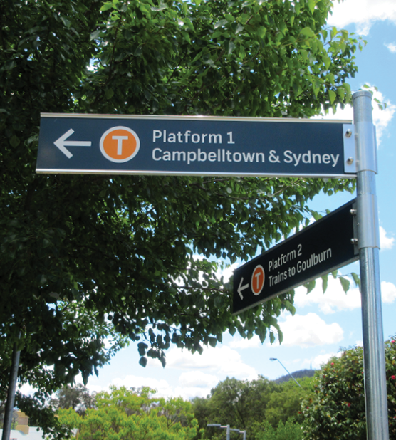
Related to the Transport for New South Wales Sydney Suburban Wayfinding Program, the Southern Highlands Line wayfinding project covered 18 stations across a wide area, all the way out to Goulburn in the State’s Southern Tablelands. While the scope was similar, and alignment with the rest of the rail network was key, a variety of environmental, site-specific, and distance considerations, well and truly made this large project stand alone.
Scope
The scope of work for the Southern Highlands Line project covered wayfinding signage, site planning, project management and design services. Like the Sydney Suburban project, rolling out a consistent look and feel to wayfinding but ensuring we respected the site-specific details were key considerations. Given the outer-suburban, semi-rural and rural environments where the stations were found, there were a number of unique challenges to face and overcome. Things like heritage constraints presented challenges around fixing signage, so we had to develop creative solutions to make it work.
Impact
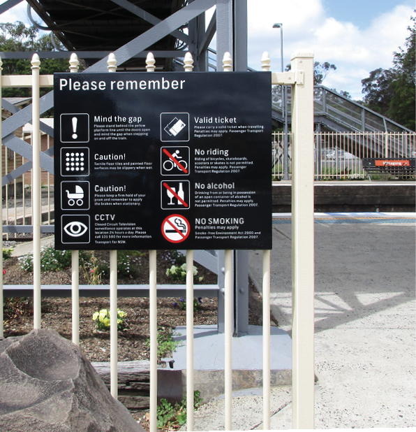
Urban Monkey delivered all 18 wayfinding sites while taking into account the customer needs for each area. Our experience tells us to always be prepared for the unexpected, so when we came up against heritage considerations and, as a result, installation constraints, we were ready and nimble to find a way to make it work. Other variables such as the remoteness of the stations, the distance between stations, reduced frequency of services, longer travel times, and very early commuting starts pushed us to come up with the most appropriate solutions for each site. For example, shepherding commuters towards more public areas with good sightlines and surveillance would make their experience safer.
We also created a more efficient traffic flow to and from other services and transport modes inline with the destination hierarchy mapping we undertook in the planning and strategy stages. This resulted in a more intuitive and wholly seamless experience for commuters.
What we did
- – Wayfinding design