Pointing 4.5 million people in the right direction
Project: Transport for New South Wales Sydney Wayfinding Program
Location
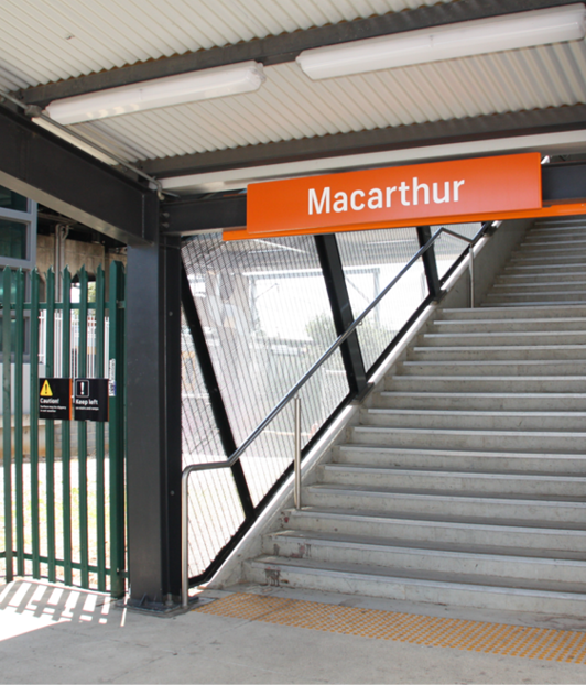
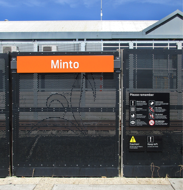
Bardwell Park, Bexley North, Kingsgrove, Turrella, Lewisham, Petersham, Stanmore, Macdonaldtown, Leumeah, Macarthur, Minto, Macquarie Fields, Loftus, Engadine, Kirrawee, Gymea, St Marys, Doonside, Werrington, Kingswood, Emu Plains, Sydney, NSW
Overview
First and foremost, good wayfinding is dependent upon having a solid grasp of traffic flows and destination hierarchies. So, when Urban Monkey was selected to roll out an integrated wayfinding system in Australia’s largest city, we knew that our interdisciplinary design approach would be key to delivering the project. Servicing 4.5 million people, Transport for New South Wales’ (TfNSW) wayfinding infrastructure needed to be aligned to make the system more connected and easier to follow for residents and visitors alike.
Scope
Urban Monkey created an initial wayfinding strategy to help us identify the nuanced detailed hidden within the multiple urban environments we were working with. Considerations for site specific issues, such as existing signage, built environment elements and customer behaviours were key at this juncture of the project.
We were responsible for the creation of wayfinding signage, site planning, project management and design services across 21 stations throughout the Sydney train network. For such a broad service area, our detailed planning and stakeholder management would prove to be equally as important as the design work itself. From site audits, to planning and implementation, we kept the bigger picture of connecting people to places at front of mind throughout the duration of the project. Ongoing, Urban Monkey continues in its capacity as technical advisors and member of the TfNSW wayfinding and signage panel.
Impact
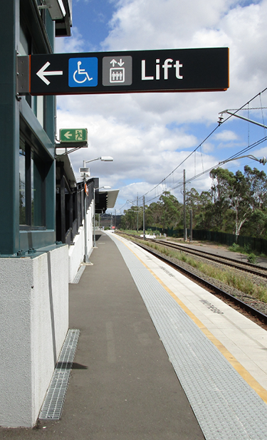
In many ways, the ‘dark art’ of wayfinding is all about moving people to where they need to be quickly and efficiently without them feeling like they’ve been made to make multiple conscious decisions. This is done by dropping breadcrumbs — hints and cues like arrows, signage, markings, colours and lighting.
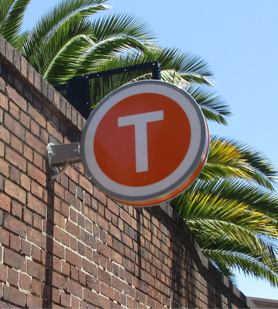
We do this by analysing decision making points and critical junctures in their journey. In the case of the Sydney Suburban project, the destination mapping and hierarchy strategy informed how we moved people into the zones they needed to be in like movement between platforms, to and from car parks, taxi zones, and bus stops. The other consideration was a consistent visual language that would carry across all stations, adding further value to the overall customer experience. Our goal is to always strive for a positive experience for all users, so when all of the pieces of this (quite large) puzzle came together, the Sydney Suburban Wayfinding Program was better placed to improve movement and travel for millions of people.
What we did
- – Wayfinding design